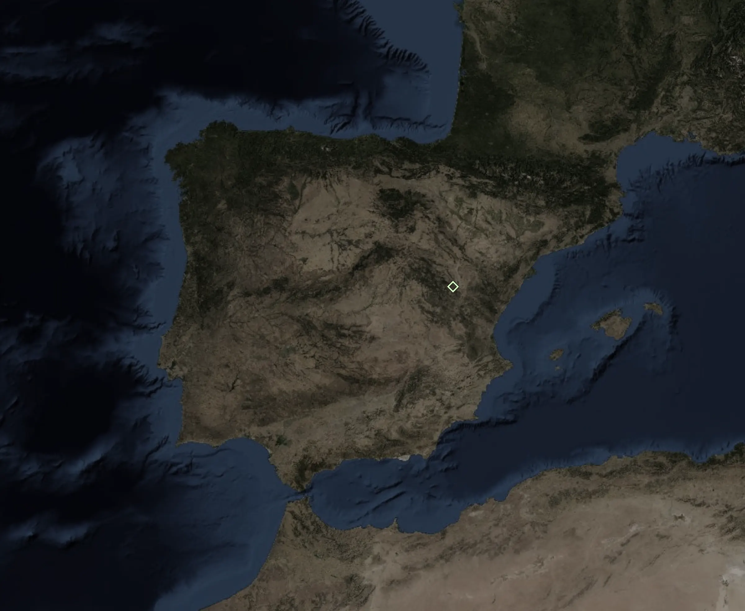
Find rock nobody has climbed
Lithos reads official aerial photos and terrain models with AI and marks the boulders and walls that are in no guide. You draw the area. You decide what happens to what it finds.
Free: 2 km² a month. No card.
Survey a whole range first
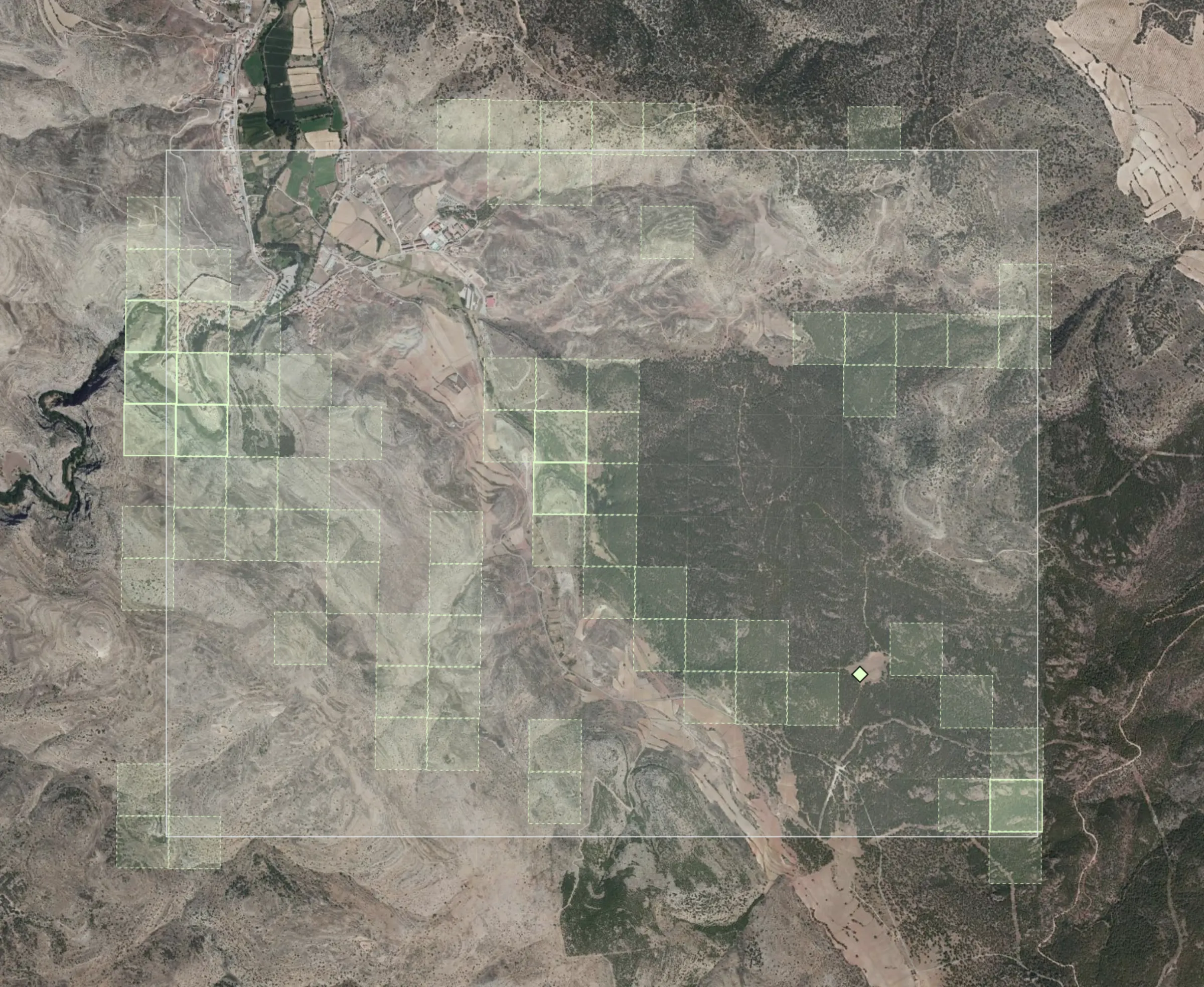
A survey reads no photos. It rates every 250 m block from 0 to 1 with the terrain model, the LiDAR hillshade where there is one and the geological map: hard rock, or only clay and gravel. Up to 400 km², for a twenty-fifth of the km².
- Steep, broken ground on hard rock scores high
- Then look closely only at the best blocks
- A rating says where rock is likely, not where it is
- Rock very likely
- Rock possible
- Unlikely
Then every block, at 50 cm
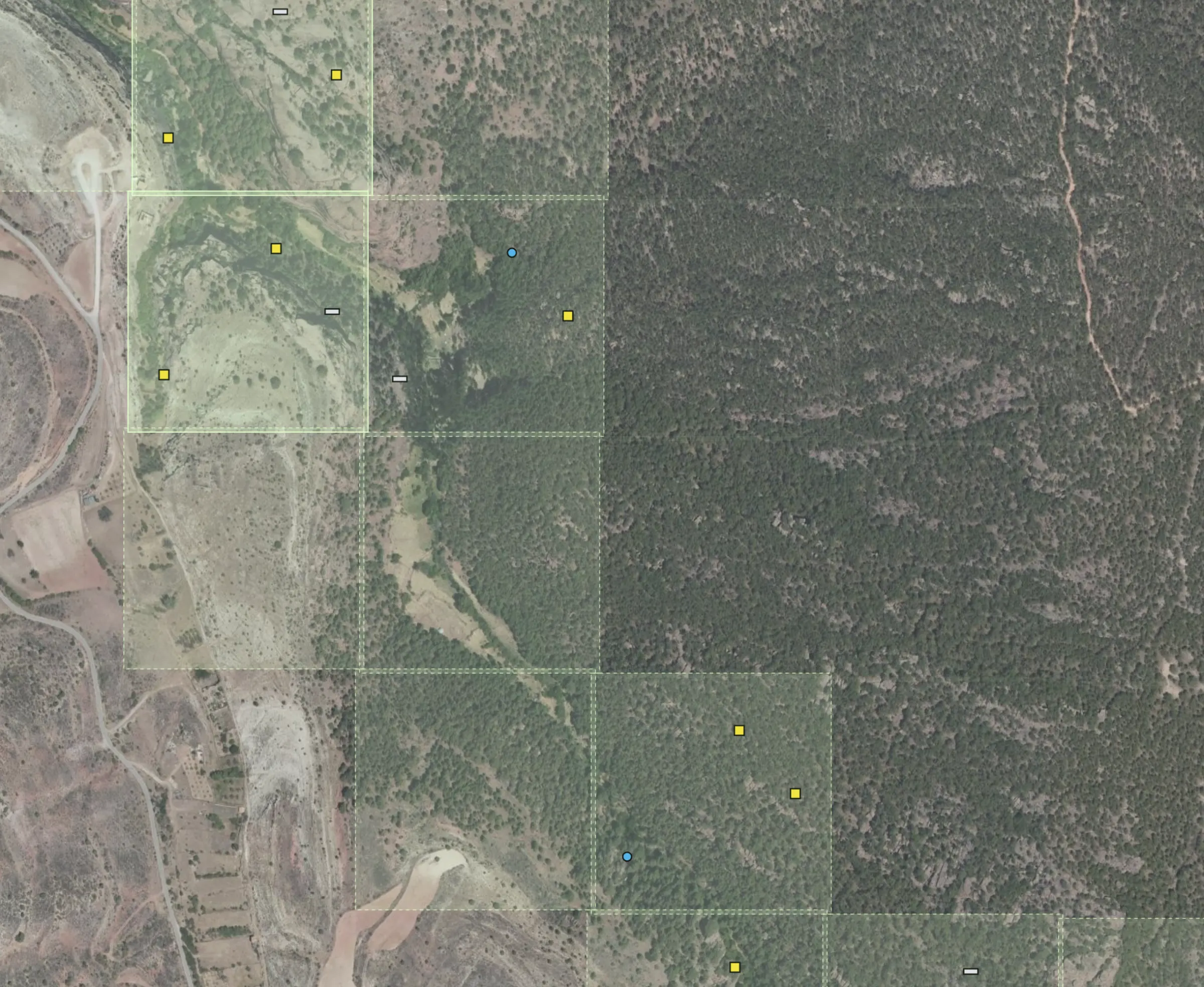
A thorough scan shows each 250 m block of official orthophoto to a vision model. It marks boulders, walls and broken rock, how big each one is and how sure it is. Ask for big boulders only, walls, faults, or say it in your own words.
- The geological map names the rock of each mark
- Each find keeps its size in metres
- Filter by kind, size and confidence
- Boulders
- Wall
- Broken rock
Demo finds over a real survey of the Albarracín pine forest
Keep it. Share it when you decide.
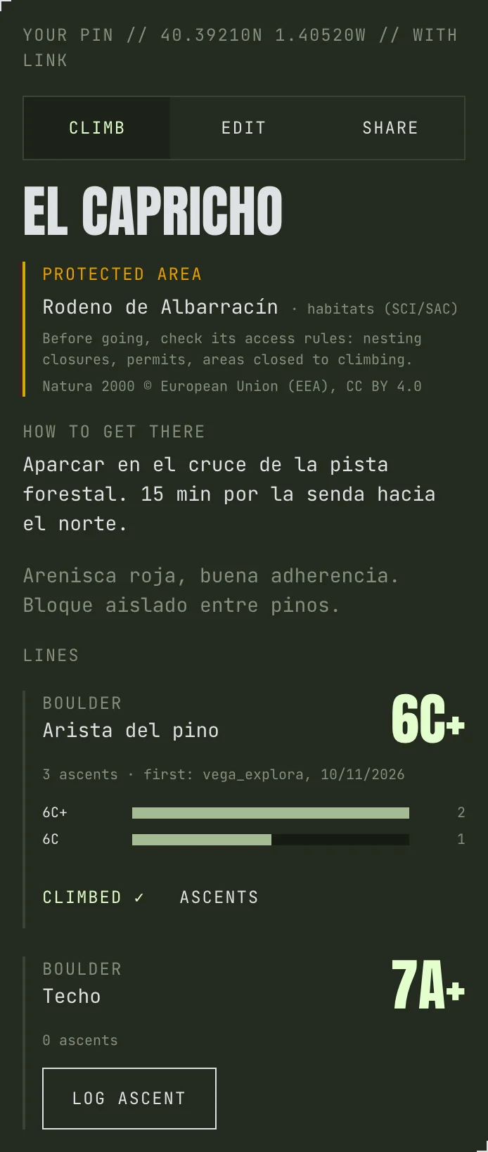
Every find you keep becomes a pin with its lines, grades, photos and how to get there. Private by default. Share it by link or publish it, and the people who climb it settle the grade: the first ascent names the line, the most voted grade wins.
- Protected areas flagged: check nesting closures before you go
- Font, V, French, YDS or UIAA
- A thread under every ascent: a broken hold marks the line changed
Walk to it
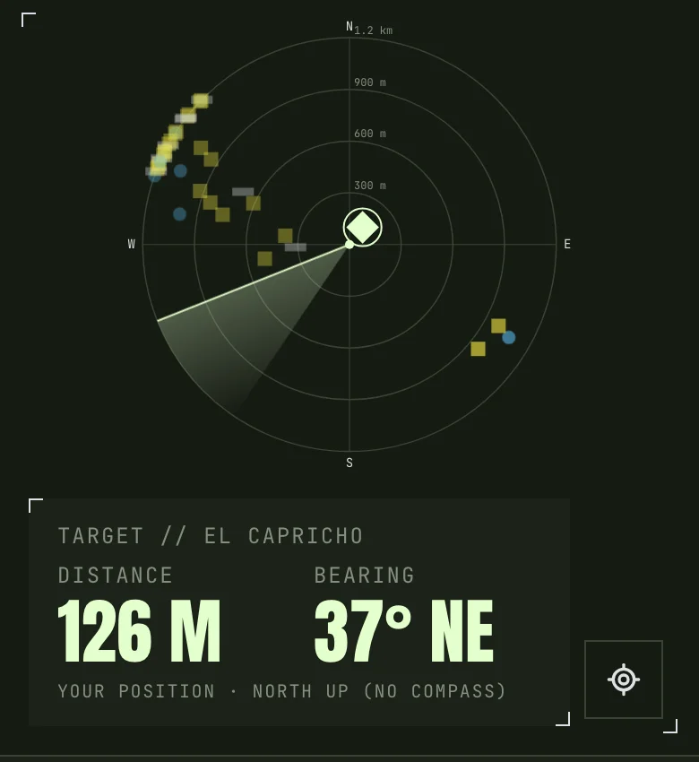
On the hill the radar points to the pin with your GPS and compass. Save an area before you lose coverage: the imagery, your pins and their finds go with you. Export to Google Maps, OsmAnd or Gaia.
- Distance and bearing to the target
- Offline areas with Explorer and Pro
- KML and GPX out, KMZ, GPX and GeoJSON in
Each country’s own data
The aerial photos, terrain models and geological maps come from each country’s public agencies, the ones that fly and survey their own ground: photos from 8 to 60 cm a pixel and LiDAR relief from 0.5 to 2 m. Every view credits its source.
What each country hasStart free
A km² is ground the AI looks at in full, at 50 cm. Pins, sharing, the radar and the community are free on every plan.
Free
2 km²
a month
0 €
- Surveys and thorough scans
- Pins, sharing and the radar
Explorer
15 km²
a month
4.99 € a month
- Offline areas
- LiDAR relief
Pro
40 km²
a month
9.99 € a month
- Offline areas and LiDAR relief
- Geological map, and the rock named in every scan
Need more? Top-ups of km² that never expire. Prices in euros, tax included. What each country has
Create a free accountBefore you go
- Is every mark rock?
- No. The model marks what it sees in the photo and says how sure it is. Go and look: the imagery is the evidence, the hill is the proof.
- Who sees what I find?
- Only you, until you share it. Signed-out visitors see the demo and public sectors at an approximate location, never the exact spot.
- Can I climb where it points?
- Lithos does not know who owns the land or what the rules are. It flags protected areas; access, permits and closures are yours to check.
What each country has
A thorough scan needs the country’s aerial photo, and a licence that lets the AI read it: some countries only let us show theirs, and there you see the photo and survey the ground, but the AI does not read it. LiDAR relief comes with Explorer and Pro, the geological map with Pro, only where listed. Surveys work anywhere in the world.
The next line is out there
Draw your first area in a minute. Two km² a month are on us.
Create a free account